Maze District
Overview
excerpted from our book
Canyonlands National Park
Favorite Jeep Roads & Hiking Trails
page 206
|
Buy book directly from the author!
Canyonlands National Park
Favorite Jeep Roads & Hiking Trails
- has access info for 75 trailheads
- 56 detailed trail maps
- 241 photographs
- loads of driving and hiking tips
|
regularly $14.95
now on sale for only
$11.95
click here
for book orders
|


The Maze District of Canyonlands National Park was named after a large network of narrow canyons east of the Green and Colorado Rivers that have,
over the last ten-million years, carved the land into a topless labyrinth of crazy winding passageways.
The entire complex occupies an area of less than 35 square miles,
but within this area 6 major canyons and dozens of smaller ones meander through the colorful Cedar Mesa Sandstone along their nonsensical routes to the rivers below.
This labyrinth of canyons actually comprises only about a third of the total area included in the Maze District.
The national park boundaries extend for nearly 30 miles up the eastern shores of the Green and Colorado Rivers, from Waterhole Flat in the south to Horsethief Canyon in the north.
Nevertheless, most of the hiking trails are located in the collection of canyons called the Maze.
Before the formation of the national park it was never imagined that the Maze District would one day become a tourist attraction.
The area was virtually unknown to all but a few ranchers who ran cattle and sheep there. They called it Under the Ledge, because of its location east of the Orange Cliffs.
The most common way to get there was to drive a wagon or truck to Flint Flat above the rim, and then descend into the canyons on horseback.
Before the early 1950s there were no roads of any kind Under the Ledge-only horse trails.
The most popular Under the Ledge pastures for grazing livestock were in the southern half of the district,
in Elaterite Basin, Ernies Country and Waterhole Flat, and oldtimers tell many stories about happenings there during the first half of the last century.
Cowboys would frequently spend months tending their herds in the isolation of the canyons,
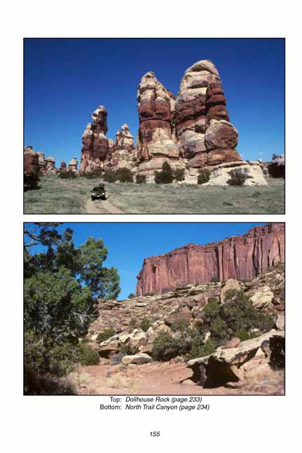
then in the fall when it was time to market the cattle they would typically drive them up through North Trail Canyon to Hans Flat and on to the stock yards in Green River.
Most of the jeep roads in the Maze District were built during the 1950s when prospectors came flooding into Canyonlands in search of uranium.
The road down from Flint Flat was built shortly after the completion of the White Rim Road in the Island in the Sky District. During the late 1950s there was also a crude ferry in operation that made it possible to travel from the Maze to the White Rim Road. The ferry crossed the Green River just above Anderson Bottom.
Much of the romance of the Maze District stems from its remoteness and isolation;
the area hasn't really changed much since the Anasazi Indians left it 700 years ago.
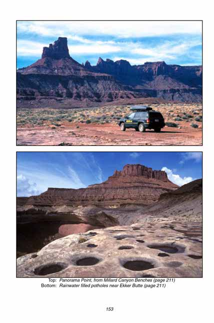
There are now a few jeep roads into the Maze but they haven't been upgraded since they were built 50 years ago, and they are still impassable to anything short of a 4WD vehicle.
To its credit, the Park Service has dedicated itself to preserving the wild splendor of the land, and there are no plans to improve access to the Maze in the future.
It is comforting to know that in this age of rapid development we can still count on some things staying the same.
If you are willing to put up with hours of bone-rattling 4WD travel the Maze District of Canyonlands can provide a richly rewarding wilderness experience
Note to web developers: You may copy this material onto your site, but in return please include a link to my home page
www.utahtrails.com. Thank you, David Day (utahdavidday at gmail.com)
Click here to see more trails in
Canyonlands National Park
© Rincon Publishing Company, all rights reserved
|


