Gooseberry Trail
excerpted from our book
Canyonlands National Park
Favorite Jeep Roads & Hiking Trails
pages 56-57
|
Buy book directly from the author!
Canyonlands National Park
Favorite Jeep Roads & Hiking Trails
- has access info for 75 trailheads
- 56 detailed trail maps
- 241 photographs
- loads of driving and hiking tips
|
regularly $14.95
now on sale for only
$11.95
click here
for book orders
|


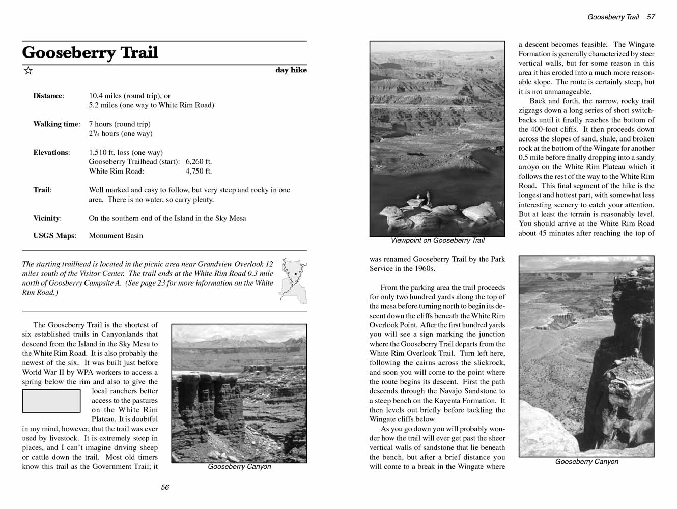
 The Gooseberry Trail is the shortest of six established trails in Canyonlands that descend from the Island in the Sky Mesa to the
White Rim Road. It is also probably the newest of the six. The Gooseberry
Trail was built just before World War II by WPA workers to access a spring below the rim
and also to give the local ranchers better access to the pastures on the White Rim Plateau. It is doubtful in my mind, however, that the trail was
ever used by livestock. It is extremely steep in places, and I can’t imagine driving sheep or cattle down the trail. Most old timers know this
trail as the Government Trail; it was renamed Gooseberry Trail by the Park Service in the 1960s.
From the parking area the trail proceeds for only two hundred yards along the top of the mesa before turning north to begin its descent down the
cliffs beneath the White Rim Overlook Point. After the first hundred yards you will see a sign marking the junction where the Gooseberry Trail
departs from the White Rim Overlook Trail. Turn left here, following the cairns across the slickrock, and soon you will come to the point where
the route begins its descent. First the path descends through the Navajo Sandstone to a steep bench on the Kayenta Formation. It then levels out
briefly before tackling the Wingate cliffs below.
As you go down you will probably wonder how the trail will ever get past the sheer vertical walls of sandstone that lie beneath the bench, but after
a brief distance you will come to a break in the Wingate where a descent becomes feasible. The Wingate Formation is generally characterized by steer
vertical walls, but for some reason in this area it has eroded into a much more reasonable slope. The
Gooseberry Trail's route is certainly steep, but it is not
unmanageable.
Back and forth, the narrow, rocky trail zigzags down a long series of short switchbacks until it finally reaches the bottom of the 400-foot cliffs.
It then proceeds down across the slopes of sand, shale, and broken rock at the bottom of the Wingate for another 0.5 mile before finally dropping
into a sandy arroyo on the White Rim Plateau which it follows the rest of the way to the White Rim Road. This final segment of the
Gooseberry Trail is the
longest and hottest part, with somewhat less interesting scenery to catch your attention. But at least the terrain is reasonably level. You
should arrive at the White Rim Road about 45 minutes after reaching the top of the plateau.
Note to web developers: You may copy this material onto your site, but in return please include a link to my home page
www.utahtrails.com. Thank you, David Day (utahdavidday at gmail.com)
Click here to see more trails in
Canyonlands National Park
© Rincon Publishing Company, all rights reserved
|


 The Gooseberry Trail is the shortest of six established trails in Canyonlands that descend from the Island in the Sky Mesa to the
White Rim Road. It is also probably the newest of the six. The Gooseberry
Trail was built just before World War II by WPA workers to access a spring below the rim
and also to give the local ranchers better access to the pastures on the White Rim Plateau. It is doubtful in my mind, however, that the trail was
ever used by livestock. It is extremely steep in places, and I can’t imagine driving sheep or cattle down the trail. Most old timers know this
trail as the Government Trail; it was renamed Gooseberry Trail by the Park Service in the 1960s.